Socio-Hydrology
Studying of the interconnected relationships between people and water using a simplified conceptual model of society and the environment
Postdoctoral Researcher
Institute for Environmental Engineering
ETH Zürich
I earned my PhD in Civil Engineering from the University of Texas at Austin, along with master's degrees in Public Affairs and Environmental & Water Resources Engineering. I am currently a postdoc at ETH Zürich, working under the Chair of Hydrology and Water Resources Management.
My research focus is in developing tools and methods to describe and predict the compounding impacts of hazards on society. I use remote sensing, conceptual modeling, dynamical systems, network analyses, and open source data/tools to address the intersection of hazards on vulnerable populations in near-real time from both engineering and social science viewpoints.
This research portfolio is under continuous maintenance, and will be updated as projects develop. Please explore this site for information about my ongoing and previous research, and do not hestitate to reach out to learn more or to discuss future collaborations. My contact information can be found on the menu bar to the left.

Studying of the interconnected relationships between people and water using a simplified conceptual model of society and the environment
Utilizing a high-resolution satellite remote sensing methodology to increase the detection of flooding and heat events
Examining how fluvial and pluvial flooding impact vulnerable populations with a topographic based inundation methodology
Quantifying resiliency metrics for household level disruptions to critical resources during and immediately after flooding events
I am committed to building Findable, Accessible, Interoperable, and Reusable (FAIR) tools for the socio-hydrology and hazard modeling fields. The below packages are a collection of the tools we have developed. We actively welcome your feedback and ideas for future collaborations. To learn more, please go to the projects' individual GitHub pages.
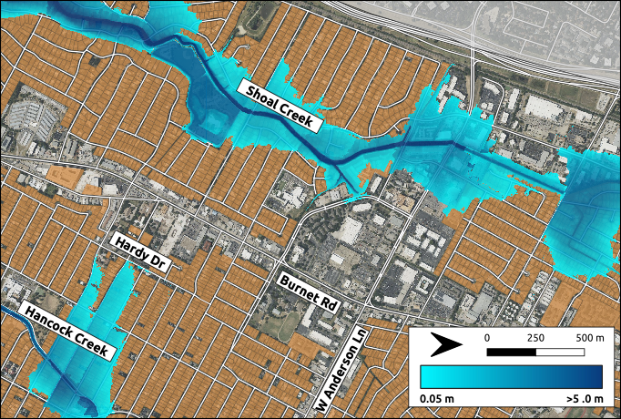
Mapping compounding fluvial, pluvial, and coastal flooding
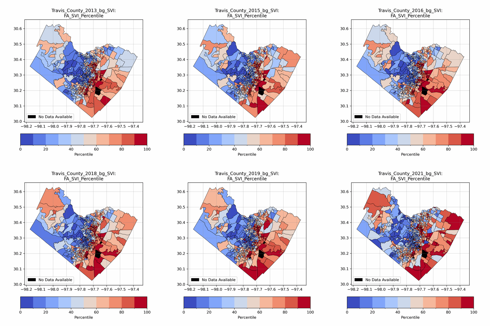
Index for estimating socio-demographic based vulnerability
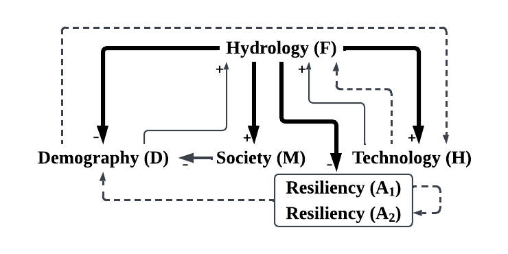
Socio-hydrology dynamical systems modeling package